Jeff Garmire hiked this route in 2019
The Arizona Trail is a premier spring/fall thru-hike that stretches 800 miles across the entire state of Arizona. It takes 6-8 weeks to complete.
Region: Southwest (Arizona)
Length: 800 miles (5-8 weeks)
Get the Arizona Trail Guide from Guthook/Far Out
Physical Difficulty: Moderate
- High temperatures
- Long, sustained climbs
- Long water carries
Logistical Difficulty: Moderate
- Resupply every 50 miles or so with good access to towns
- Trail is long enough to require plenty of planning
- Point-to-point, travel planning required
Season: Spring, NOBO starting late March or early April; or fall, SOBO starting in mid-October
Elevation (Average): 5,300 feet
Total Elevation Gain: 111,000 feet
Time to Complete: 5-8 weeks on average

| Miles / Day (average) | Days to complete (rounded up) |
| 10 | 80 |
| 15 | 53 |
| 18 | 44 |
| 22 | 36 |
| 25 | 32 |
| 30 | 27 |
Arizona Trail Overview
Closest City to Southern Terminus: Tucson, Arizona (94 miles)
Closest City to Northern Terminus: St. George, Utah (128 miles)
The Arizona Trail is special thanks to the time of year it can be hiked, and the length. With the majority of people hiking the AZT in the shoulder seasons (spring and fall), it is a break from the most popular trails in the United States. 800 miles is the perfect challenge to immerse yourself in the thru-hiking lifestyle, but is also a manageable distance to maintain a career and off-trail obligations.
Arizona is full of sky islands, isolated mountains with lowland environments on all sides. In terms of the Arizona Trail, this means one is never in one environment for long. Beginning in Coronado National Memorial, the trail shoots straight up to Miller Peak and seesaws up and down through the Huachuca, Santa Rita, and Rincon Mountains within the first 200 miles.
Near Tucson, the trail climbs through the Santa Catalina before crossing the largest of the true desert sections near Oracle. The trail quickly climbs into the Superstitions, drops to Roosevelt Lake, and then ascends into the Four Peaks Wilderness and the Mazatzal Mountains. After the most rugged sections, the route follows the Mogollon Rim toward Flagstaff and up toward the Grand Canyon.
The trail ends with a crossing of the Grand Canyon and the Kaibab Plateau. It ends at the Utah border after giving travelers a wild 800-mile ride through a condensed, diverse, scenic landscape.
When to Hike the Arizona Trail
Hikers attempting the AZT in the spring and fall are nearly split in half. Neither direction is better or worse, and each offers different challenges, sights, and environments. The time of year makes a thru-hike dramatically different.
A springtime hike of the Arizona Trail is best suited for the northbound (NOBO) direction. Starting at the Mexican border in March or April is ideal timing. Most water sources are flowing and the weather is relatively tame. Spring is a great time to see wildflowers and see the wildlife returning to the sky islands. The timing for the national parks (Saguaro and Grand Canyon) is perfect for avoiding crowds while also finding a good weather window.
The downside to a spring northbound hike is the remnants of winter. Snow clings to the high-altitude peaks, and with the snow comes mud. It is a price to pay for flowing springs, full ponds, and green grass. In a big snow year, winter conditions can become a large part of the second half of the hike. Keep an eye on melting patterns of the terrain when considering your start date. The Kaibab Plateau (northernmost 70 miles) is likely to hold snow if a thru-hiker arrives too early. The other issue with starting early in the spring is the lack of amenities on the North Rim of the Grand Canyon. The South Rim is the large hub for the second-most-visited national park, but the North Rim is simply a seasonal location. Highway 67, which accesses the North Rim, is closed throughout the winter and opening it is subject to the arrival of spring and the seasonality of visitors.
A fall hike of the AZT is traditionally done in a southbound (SOBO) style, starting up north before winter has arrived and completed across the desert sections after the heat of summer has dissipated. The trail is traditionally more clear with temperate weather throughout for southbound travelers.
A fall hike has the potential for coinciding with early winter storms. The temperature up north can drop quickly and offer cold nights. Water sources are less dependable after a summer of drying out and the wildlife has slowed its movements or hunkered down for winter. The time in the national parks is likely to coincide with snowbirds arriving in Arizona for their winter homes. It is a completely different hike than heading northbound. It is a race against winter, but on a clear trail, void of mud or water.
Getting to the Southern Terminus
The Southern Terminus of the Arizona Trail is located on the Mexican border in Coronado National Memorial. The monument can be reached by hiking two miles south from Montezuma Pass Trailhead to the border, or by hiking 2.5 miles up the Joe’s Canyon Trail from the Colorado National Memorial Visitors Center and then one mile south on the Arizona Trail.
The closest airport to the Southern Terminus is Tucson, and multiple options exist for making it out to the trail. Multiple shuttles (listed on the resource page) run from Tucson International Airport to Sierra Vista and then from Sierra Vista to Coronado National Monument. Tucson is a city of over a million people, and it is best to organize a ride ahead of time. But, from Sierra Vista it is an easy hitch to the memorial and the start of the AZT. Shuttle services here. Map it here.
Getting to the Northern Terminus
The Northern Terminus of the Arizona Trail is located at the Stateline Trailhead on the Arizona / Utah border. There is a campground and a dirt road that leads down to the monument from State Highway 89. There is no water at the campground, but it is a fairly busy location for car camping and it is likely that water can be obtained from campers.
Hitching is possible, especially in the afternoon as campers are leaving. The two closest towns are Kanab, Utah, to the west and Page, Arizona, to the east. There is little to no cell service in the area, and it is best to organize a ride prior to completing the trail. We’ve listed shuttles on our resource page. Shuttle services here. Map it here
Arizona Trail Resupply Strategy
Resupplying on the Arizona Trail is simple, and can be a mix of sending packages and buying supplies in town. Hikers will hit a solid resupply town (or access to one) every 50 or so miles. Our complete Arizona Trail resupply guide can be found here.
Permits and Camping
The Arizona Trail is a newer addition to the National Scenic Trails and thus a trail-wide permit does not yet exist.
The two national parks on the route are the only two in which a permit must be obtained in order to camp. The trail passes through Saguaro National Park for 17.5 miles. Dispersed camping is illegal in the national park and a permit must be obtained to camp at one of the designated areas. The two possible campsites are Manning Camp and Grass Shack Campground on the traditional Arizona Trail route. It is common for thru-hikers to camp at one boundary of Saguaro National Park and cross the entire boundary in one day. If this strategy is followed, a permit is not needed for this section.
Grand Canyon National Park is the second location where a backcountry permit is needed to camp. A backcountry camping permit can be acquired from the backcountry ranger office in the Grand Canyon Village heading NOBO, and is required to be displayed on the outside of the pack throughout the Grand Canyon section. Options for camping in Grand Canyon National Park include Bright Angel Campground, Phantom Ranch, Cottonwood Camp, and North Rim Campground.
Arizona Trail Passages
The Arizona Trail is broken up into 43 passages, roughly divided between southern, central, and northern passages. They range from fewer than 10 miles up to 30 miles and can be combined for day hikes, short sections, or longer trips.
The below passages have been linked from the Arizona Trail Website with additional resources, links, and information linked through ATA website
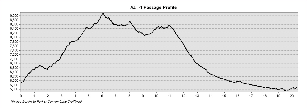
PASSAGE 1: HUACHUCA MOUNTAINS
- Passage Information Page: Huachuca Mountains
- Miles: 20.8
- MAP
- PROFILE
- TRACK
- Waypoints: GPX | MP
- Arizona History
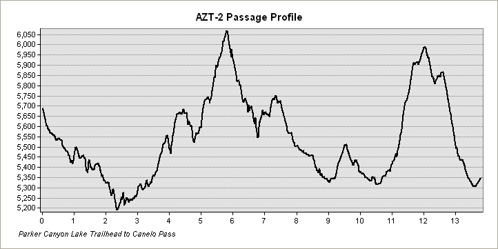
PASSAGE 2: CANELO HILLS EAST
- Passage Information Page: Canelo Hills East
- Miles: 13.8
- MAP
- PROFILE
- TRACK
- Waypoints: GPX | MP
- Arizona History
PASSAGE 3: CANELO HILLS WEST
- Passage Information Page: Canelo Hills West
- Miles: 16.2
- MAP
- PROFILE
- TRACK
- Waypoints: GPX | MP
- Arizona History
PASSAGE 4: TEMPORAL GULCH
- Passage Information Page: Temporal Gulch
- Miles: 21.8
- MAP
- PROFILE
- TRACK
- Waypoints: GPX | MP
- Arizona History
PASSAGE 5: SANTA RITA MOUNTAINS
- Passage Information Page: Santa Rita Mountains
- Miles: 13.8
- MAP
- PROFILE
- TRACK
- Waypoints: GPX | MP
- Arizona History
PASSAGE 6: LAS COLINAS
- Passage Information Page: Las Colinas
- Miles: 13.1
- MAP
- PROFILE
- TRACK
- Waypoints: GPX | MP
- Arizona History
PASSAGE 7: LAS CIENEGAS
- Passage Information Page: Las Cienegas
- Miles: 12.7
- MAP
- PROFILE
- TRACK
- Waypoints: GPX | MP
- Arizona History
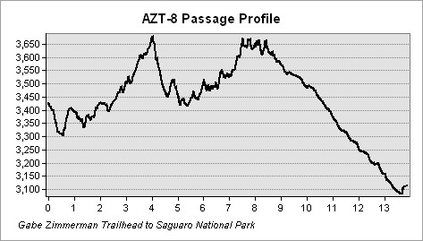
PASSAGE 8: RINCON VALLEY
- Passage Information Page: Rincon Valley
- Miles: 13.9
- MAP
- PROFILE
- TRACK
- Waypoints: GPX | MP
- Arizona History
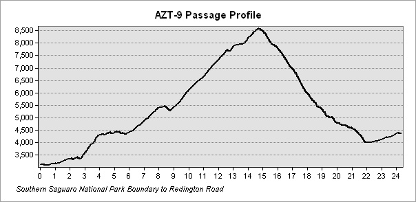
PASSAGE 9: RINCON MOUNTAINS
- Passage Information Page: Rincon Mountains
- Miles: 24.6
- MAP
- PROFILE
- TRACK
- Waypoints: GPX | MP
- Arizona History
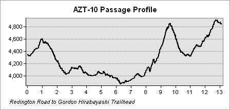
PASSAGE 10: REDINGTON PASS
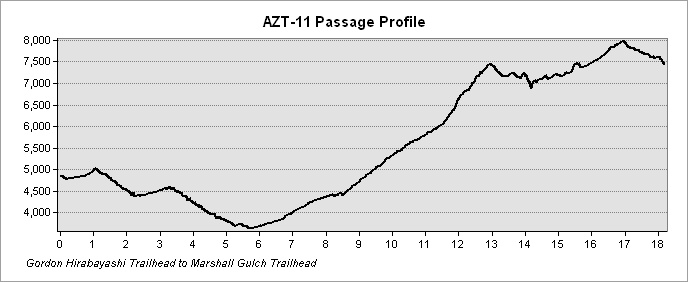
PASSAGE 11: SANTA CATALINA MOUNTAINS
- Passage Information Page: Santa Catalina Mountains
- Miles: 18.5
- MAP
- PROFILE
- TRACK
- Waypoints: GPX | MP
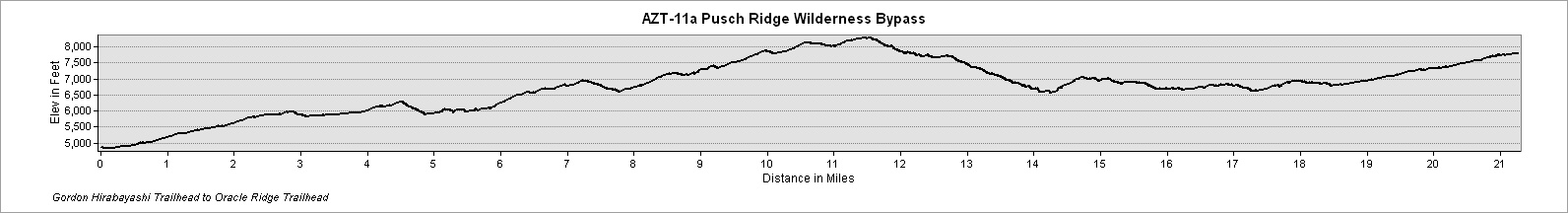
PASSAGE 11B: PUSCH RIDGE WILDERNESS BYPASS
- Passage Information Page: Pusch Ridge Wilderness Bypass
- Miles: 21.6
- MAP
- PROFILE
- TRACK
- Waypoints: GPX | MP
PASSAGE 12: ORACLE RIDGE
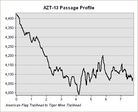
PASSAGE 13: ORACLE
CENTRAL PASSAGES
The passages considered “Central” run from Black Hills (Passage 14) to Highline (Passage 26), near the Mogollon Rim.
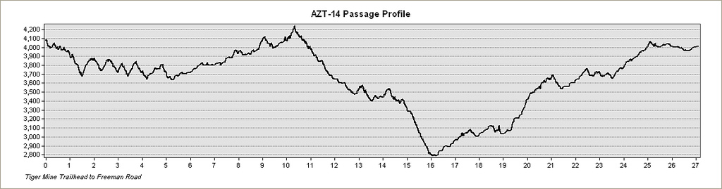
PASSAGE 14: BLACK HILLS
PASSAGE 15: TORTILLA MOUNTAINS
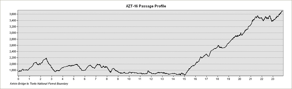
PASSAGE 16: GILA RIVER CANYONS
PASSAGE 17: ALAMO CANYON
PASSAGE 18: REAVIS CANYON
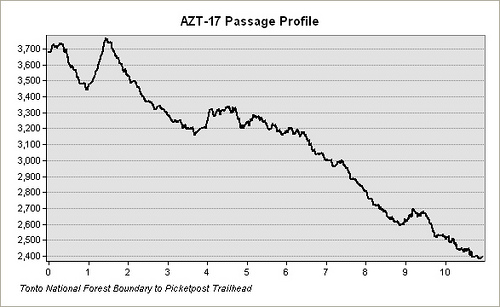
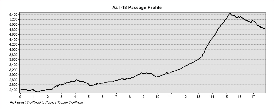
PASSAGE 19: SUPERSTITION WILDERNESS
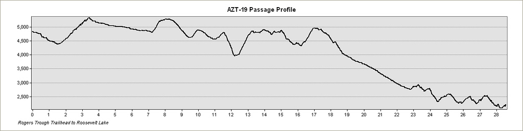
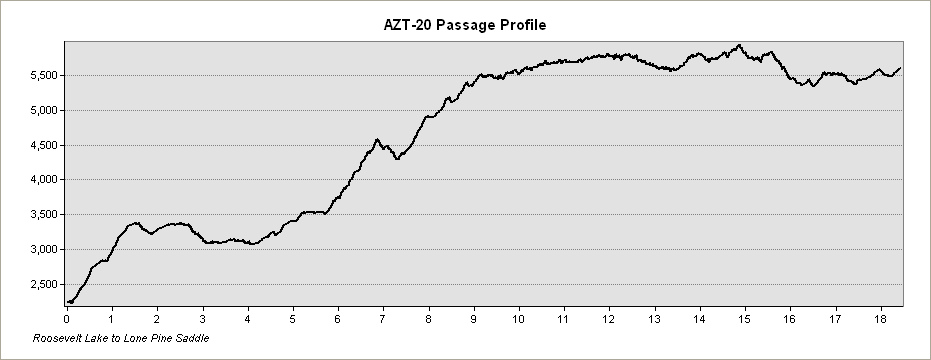
PASSAGE 20: FOUR PEAKS
PASSAGE 21: PINE MOUNTAIN
PASSAGE 22: SADDLE MOUNTAIN
PASSAGE 23: MAZATZAL DIVIDE
PASSAGE 24: RED HILLS
PASSAGE 25: WHITEROCK MESA
PASSAGE 26: HIGHLINE
NORTHERN PASSAGES
The passages considered “Northern” run from Blue Ridge (Passage 27) to Buckskin Mountain (Passage 43) on the Utah border.
PASSAGE 27: BLUE RIDGE
PASSAGE 28: HAPPY JACK
PASSAGE 29: MORMON LAKE
PASSAGE 30: ANDERSON MESA
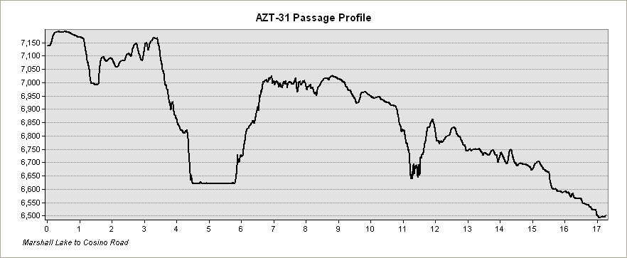
PASSAGE 31: WALNUT CANYON
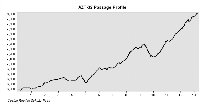
PASSAGE 32: ELDEN MOUNTAIN
PASSAGE 33: FLAGSTAFF
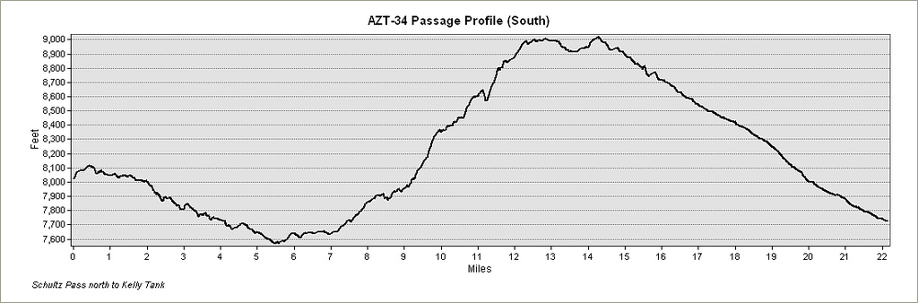
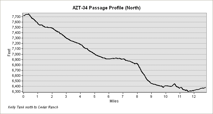
PASSAGE 34: SAN FRANCISCO PEAKS
- Passage Information Page: San Francisco Peaks
- Miles: 35.3
- MAPS (2): South, North
- PROFILES (2): South, North
- Passage Information Page: TRACK
- Waypoints: GPX | MP
PASSAGE 35: BABBITT RANCH
PASSAGE 36: COCONINO RIM
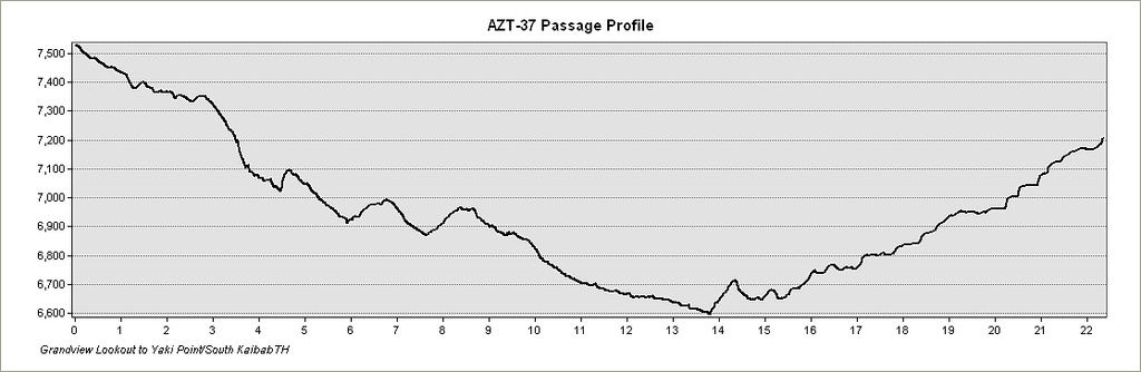
PASSAGE 37: GRAND CANYON – SOUTH RIM
- Passage Information Page: Grand Canyon – South Rim
- Miles: 22.5
- MAP
- PROFILE
- TRACK
- Waypoints: GPX | MP
PASSAGE 38: GRAND CANYON – INNER GORGE
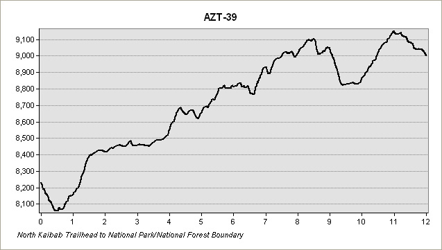
PASSAGE 39: GRAND CANYON – NORTH RIM
- Passage Information Page: Grand Canyon – North Rim
- Miles: 12.0
- MAP
- PROFILE
- TRACK
- Waypoints: GPX | MP
PASSAGE 40: KAIBAB PLATEAU SOUTH
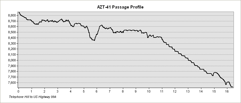
PASSAGE 41: KAIBAB PLATEAU CENTRAL
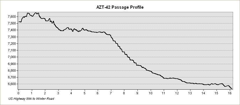
PASSAGE 42: KAIBAB PLATEAU NORTH
PASSAGE 43: BUCKSKIN MOUNTAIN
Know Before You Go
Water Scarcity: Keep tabs on where the water shortages might be. Fall is going to be harder to collect water than a springtime hike.
Planning for the Grand Canyon: You need a permit to stay overnight in the Grand Canyon. You’ll need to get a spot at Cottonwood Campground, which means a visit to the ranger station / backcountry permit office.
Preparing for Snow up North: It depends on the snow year, but snow can stay on the ground through later spring in the northernmost sections of the trail.
Resources
- Arizona Trail Resupply Guide
- Arizona Trail Shuttle Services
- Arizona Trail Association
- FarOut App for the Arizona Trail
- Grand Canyon Backcountry Permits


